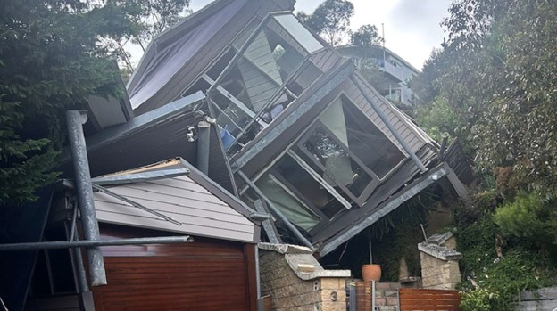
Recent landslide events on the Mornington Peninsula have brought renewed attention to ground stability and the risks associated with building on or near slopes. While the January 2025 McCrae landslide is one of the most widely publicised examples, it is important to understand that landslide risk is not isolated to one location.
Landslides are rarely caused by a single factor. In most cases, they result from a combination of conditions such as rainfall, groundwater, drainage issues, vegetation removal and slope modification. Groundwater plays a critical role, with increased moisture reducing soil strength and stability.
The region contains a mix of granitic formations (e.g. Dromana Granite), sandy and clay soils, residual soils derived from rock weathering, weathered rock profiles (ranging from highly weathered to fresh rock), as well as alluvial soils (deposited by water) and aeolian soils (wind-blown sands).
In geotechnical terms, as outlined in AS 1726 Geotechnical Site Investigations, material behaviour is strongly influenced by the degree of weathering. Fresh rock typically exhibits high strength and stability, whereas weathered rock and soils often display reduced strength characteristics. Alluvial soils are commonly loose and compressible, while aeolian sands are typically cohesionless and can only maintain stability at limited slope angles.
Soft, loose, saturated or highly weathered soils are typically more susceptible to landslip, particularly where groundwater pressures increase or where additional moisture reduces friction between particles effectively acting like a lubricant and weakening the ground.
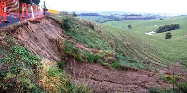
Landslides have been recorded across multiple locations within the Mornington Peninsula Shire under a wide range of conditions, including both coastal and inland environments.
Historical records, council data and regional studies indicate that slope instability has occurred periodically throughout the Peninsula, often associated with rainfall events, groundwater conditions, and localised ground characteristics.
While some events have been well publicised, many smaller or less visible landslips also occur and are documented through geotechnical investigations and council records. This highlights that landslide risk is not limited to isolated incidents, but rather forms part of a broader regional pattern.
Mornington Peninsula Shire applies the Erosion Management Overlay (EMO) to identify areas of potential instability. These overlays act as an initial screening tool and may be conservative in some cases.
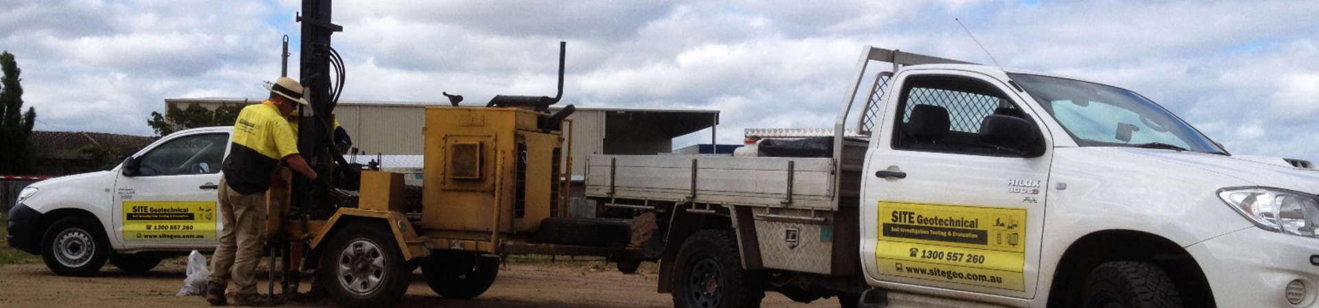
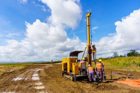
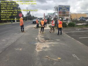
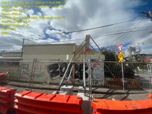
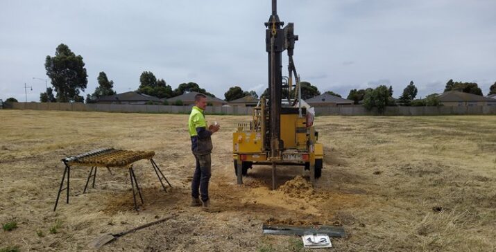
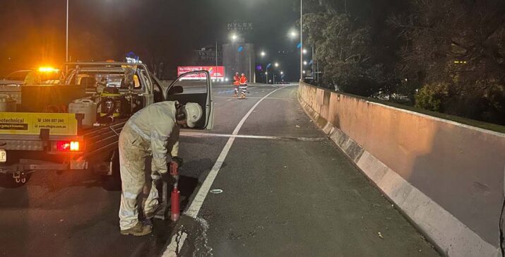
Detailed geotechnical investigation is required to determine site-specific risk and support development approvals.
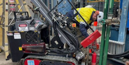
A landslide or EMO investigation typically includes a site inspection, subsurface investigation and detailed reporting. These assessments consider slope stability, groundwater behaviour, erosion potential and interaction with structures.
SITE Geotechnical provides locally informed investigations tailored to Mornington Peninsula conditions and council requirements.
⦁ Landslide risk assessments aligned with AGS guidelines
⦁ EMO investigations for planning permit applications
⦁ Geotechnical reports for building and subdivision
⦁ Slope stability and groundwater assessment
⦁ Foundation and retaining wall design input
Landslide risk across the Mornington Peninsula is influenced by multiple interacting factors. A site-specific geotechnical assessment is essential to properly understand and manage this risk.
A successful building project starts with the soil foundation. Learn why conducting a geotechnical survey before construction is crucial for stability and efficiency.
You may not think much about the pavement beneath your feet, but a great deal of planning and preparation goes into the design, creation and laying of pavement. Pavement design in particular needs a lot of careful thought, as it is used in critical infrastructure projects such as the building of major highways, warehouses, large […]
Have you noticed cracks in the walls or ceiling of a building? Are your doors or windows no longer closing easily? Small cracks are no cause for alarm, but larger ones are the signs of a distressed building, and the underlying cause needs to be looked into straight away. A distressed building will need more […]
Having the right or wrong pavement design can make millions of dollars difference in a project. That’s why it’s so important to do your pavement design correctly the first time around, and this includes choosing the right team of pavement engineers for the job. Pavement design is about more than footpaths–it actually influences all kinds […]
Geotechnical site investigations often involve the use of a drilling rig in a wide and open space, but what if the areas you are trying to work on have size or access constraints? In these circumstances, you’ll need access to geotechnical drilling technologies that can work for both small and large-scale infrastructure projects. This is […]
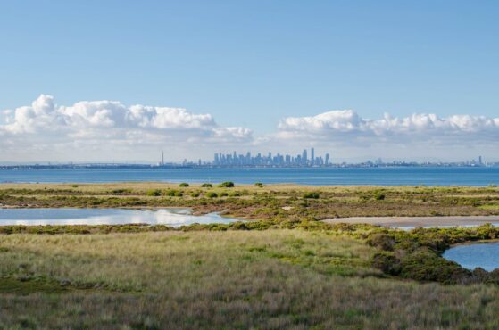
At Site Geotechnical, we understand that wetlands play an essential role in land development projects across the country. While most of our clients are already familiar with their environmental benefits, such as flood mitigation and water quality improvement, our focus is on the geotechnical considerations that can help wetlands perform reliably and sustainably. Let’s discover […]
In the midst of planning a construction project? Whether you’re building a road, a bridge, a commerce centre, or a dam, the earth you’ll be working with can have a profound impact on the success of your project. Geotechnical services consist of many different types of studies and tests on a particular site that delve […]
When you think of recycling, your mind might immediately go to paper or cans, but did you know recycled construction and waste materials play a strong part in pavement design in Melbourne as well? Pavement is everywhere, from our sidewalks and personal driveways to roads, construction platforms and rail trails. Expanding cities are constantly creating […]
For two decades, SITE Geotechnical Pty Ltd has been at the forefront of geotechnical engineering, providing expert investigations and recommendations that ensure strong, lasting foundations for infrastructure and development projects. Our journey from a small consulting firm to a leading geotechnical service provider in Victoria has been defined by innovation, expertise, and an unwavering commitment […]
In the world of infrastructure, maintaining and upgrading pavements is a constant challenge. Victorian roads endure heavy traffic, harsh weather, and can simply wear down over time, often leading to deterioration that demands action. Historically, a full reconstruction—ripping out old pavement and starting fresh—has been the go-to solution. But there’s a smarter, more sustainable alternative: […]